It can guide the Uber driver to our doorstep and steer mortar rounds toward their targets in Afghanistan, but one place GPS falls short is underwater. The seas may soon have high-precision positioning systems of their own, however, through a DARPA program aimed at providing US Navy submersibles with a new means of navigating the ocean’s depths.

The radio signals broadcast by orbiting GPS satellites reach all corners of the globe, but are brought to a halt at the water’s surface. While this is obviously problematic if you carry out most of your business beneath the seas, underwater vehicles can partially solve this problem by coming up to the surface every so often.
The trouble is, this increases the chances of detection when operating in hostile environments, and considering that enemies might jam the signal anyhow, it could be a dangerous exercise in futility.
So DARPA has enlisted the services of BAE Systems, along with not-for-profit research company Draper, to develop a system that will allow for GPS-like precision while underwater. The program is called the Positioning System for Deep Ocean Navigation (POSYDON) and, if all goes to plan, will allow the navy’s submersibles to remain concealed by the ocean while accurately navigating.
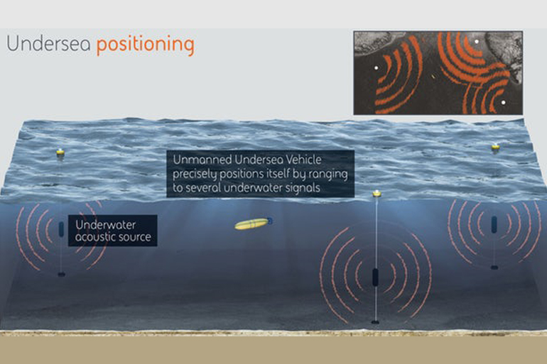
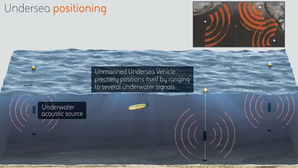
To achieve this, BAE is developing technology that makes use of long-range acoustic sources at fixed locations around the ocean. It has also been set the task of developing the necessary instruments for the vehicles to pick up and process these signals in order to find their way around.
In the same way that GPS receivers rely on the signals from multiple satellites to calculate a precise positon, the undersea vehicles would discern their location by ranging to the acoustic signals from several of the fixed underwater sources.
“BAE Systems has more than 40 years of experience developing underwater active and passive acoustic systems,” said Joshua Niedzwiecki, director of Sensor Processing and Exploitation at BAE Systems. “We’ll use this same technology to revolutionize undersea navigation for the POSYDON program, by selecting and demonstrating acoustic underwater GPS sources and corresponding small-form factor receivers.”
Source: BAE Systems
