Hydrographic surveying or bathymetric surveying is the survey of physical features present underwater. It is the science of measuring all factors beneath water that affect all the marine activities like dredging, marine constructions, offshore drilling etc.
Hydrographic surveys include sounding data (depth, position, time, and seawater characteristics) at sufficient density to accurately depict the full detail of the seafloor. Of primary importance is the location and description of man-made and natural features such as shoals, wrecks, rocks, or coral reefs, which may affect surface navigation. Therefore, at GTS, we use advanced multibeam echosounder generations in conducting such jobs to generate the highest accuracy.
Our Hydrographic Survey Services include:
- MBES Survey and Calculate Volume for Dredging Harbor, Port, Channel, River…
- MBES Survey Pre/Post Pipe, Cable Laying or Rig site, Offshore Wind Power
- MBES Survey and Calculate Volume for Spudcan Footprint Excavation.
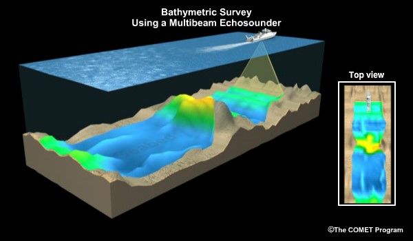
Multibeam Echosounder Seabed Survey
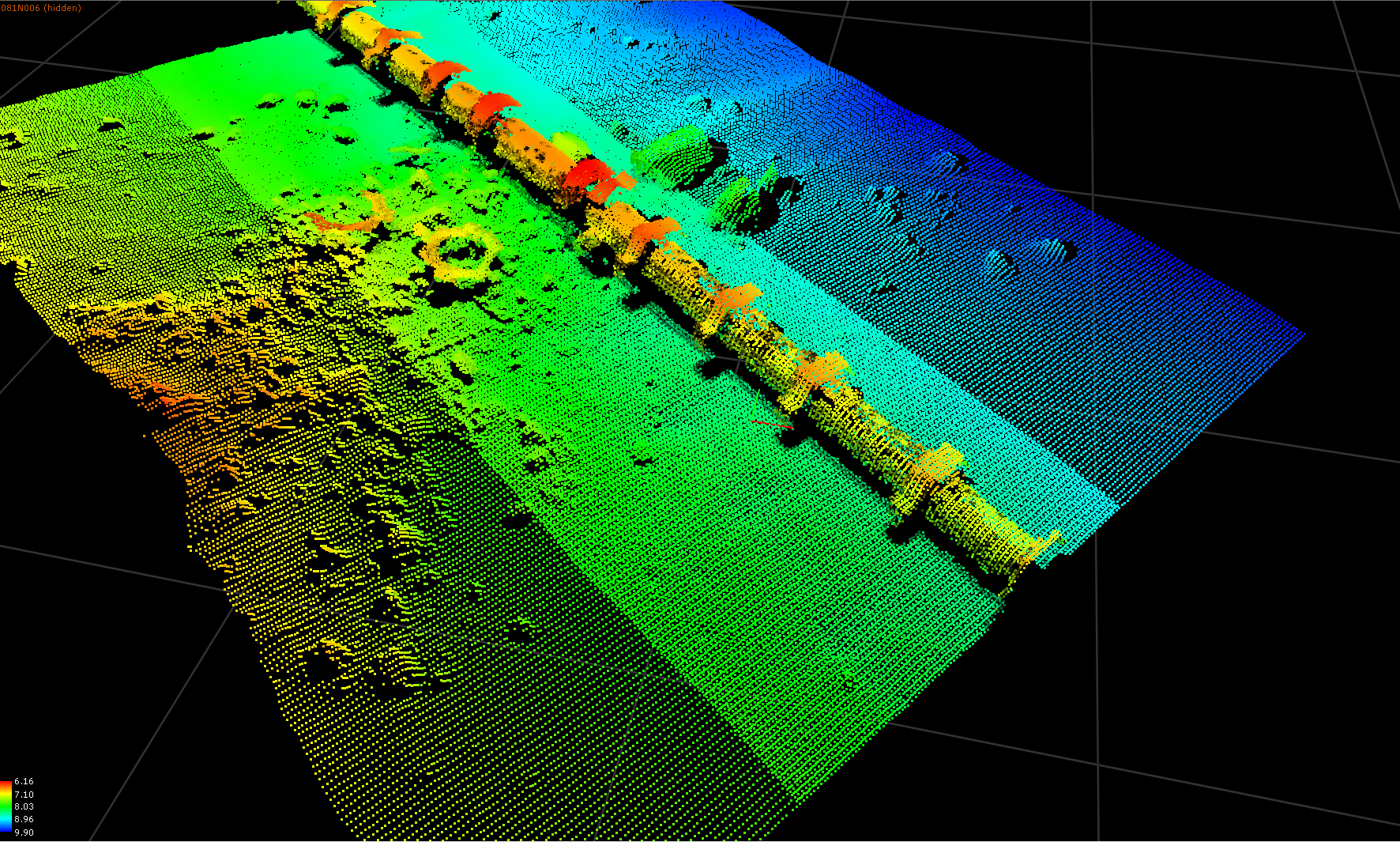
Multibeam Echosounder Pipeline Survey
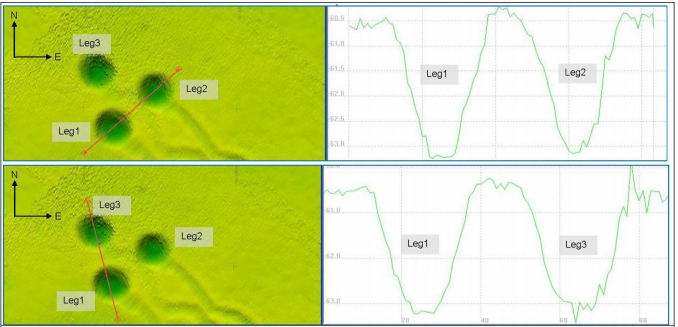
MBES Spudcan’s Footprint Excavation Survey